The South Lake Trail's First November Comes With a Low Lake and an Archery-Only Deer Season
In mid-September, before the South Lake Trail opened to the public, three hikers walked its full length from WestRock Landing Marina to the Pinnacle Mountain Visitor Center. Arkansas Times reporter Elizabeth L. Cline wrote that the temperature was well over 90 degrees and humid. The walk took about five hours at roughly 2 miles an hour, and by the end they had drunk every drop of water they carried. Cline wrote that readers would get to hike it "in more comfortable weather."
That cooler weather has now arrived. On top of it, a drought has cut boat traffic on Lake Maumelle, and deer hunting in the wildlife area around the trail is limited to archery, so the first full month of the new system is also a quiet one. Each of those conditions needs some planning.
Gov. Sarah Huckabee Sanders opened the trails on Friday, Oct. 23, at Pinnacle Mountain State Park, a few days after the Oct. 19 date that had circulated earlier. The Arkansas Democrat-Gazette reported that she called it "the completion of some of the first major connector projects spurred by the Maumelle Pinnacles Master Plan."
"Starting today, it is now possible to hike or bike from downtown Little Rock to Lake Maumelle and beyond."
That line from the governor, also reported by the Democrat-Gazette, matters most to people who already ride the Arkansas River Trail. The River Trail already reached Pinnacle Mountain State Park, and the new link carries it on to the south shore of Lake Maumelle.
Central Arkansas Water calls it the South Lake Trail System. The utility lists 13.5 miles in all, open to hikers and bicyclists, with e-bikes not allowed. The main South Lake Trail between WestRock Landing and Pinnacle Mountain State Park runs 10.1 miles by the utility's count. The Arkansas Times preview gave 9.8. The system also links Blue Mountain Natural Area and Rattlesnake Ridge Natural Area, and CAW says you can build one-way routes, loops or lollipop routes from any of those trailheads. The Nature Conservancy built it with Central Arkansas Water, the Arkansas Natural Heritage Commission, Arkansas State Parks, the Office of Outdoor Recreation and the Arkansas Game and Fish Commission, and the work took less than a year.
The quiet starts with the water. The Arkansas Game and Fish Commission's Oct. 29 fishing report put Lake Maumelle 12.17 feet below normal pool and said both boat ramps at WestRock Landing were temporarily closed because of low water. A week earlier, the Democrat-Gazette reported the lake at a historic low, and Central Arkansas Water said the level did not call for water rationing.
Bryan Rupar, the utility's watershed protection manager, explained the effect on hikers to Arkansas Times. He said drinking water supplies are not in danger, but low water means little boat activity, which makes for an exceptionally peaceful hike. Around the halfway point, the trail drops down to follow the shoreline. From there you look across open water and forest with only a few homes visible on the far ridge. The lake supplies much of the region's drinking water and has strict no-body-contact rules, so even with the shore this close, nobody wades in.
With the ramps closed, the marina lot sees less boat traffic, but it is still worth reading the lot before you park. CAW asks hikers to leave the spaces nearest the ramps for boat trailers. In early October, Arkansas Times reported that the parking lot was under construction and that the utility was building a new office there, though parking was still available.
Hunting rules are the other reason November is quiet. Arkansas Times notes that Lake Maumelle is part of the Maumelle River Wildlife Management Area. The AGFC's page for the 17,370-acre WMA lists several seasons that are open statewide as closed there for 2026-27. The statewide duck dates in the table come from the AGFC's waterfowl dates and regulations page.
| November 2026 on Maumelle River WMA | Status on the WMA |
|---|---|
| Deer archery | Open, Sept. 26 through Feb. 28 |
| Deer firearms, including muzzleloader and modern gun | Closed |
| Waterfowl | Closed, even during the statewide duck, coot and merganser dates of Nov. 21–29 |
| Bear firearms | Closed |
The WMA page lists other seasons as well, including small game, so deer bowhunters are not the only hunters who may be out. Gun deer season, though, does not open on this land. Arkansas Times suggests that trail users wear orange during hunting season. A blaze-orange cap or vest weighs almost nothing in a daypack.
Because waterfowl hunting is closed on the WMA, the birds have the lake to themselves. Buffleheads, loons and mergansers spend the winter on Lake Maumelle. One of the endpoints is even called Bufflehead Bay, where the Democrat-Gazette said the new system ends on the Lake Maumelle side.
The cooler weather helps, but the route itself has not changed since September. Between the marina and the visitor center there are no bathrooms, no campsites, no water refill stations and few ways off the trail. The trails are not blazed. CAW says signs are posted at major intersections. The Arkansas Times group followed its progress on the MTB Project app. Based on their September hike, the full point-to-point route goes like this:
On the last few miles you can see the results of the prescribed burns. The Times described char on the lower trunks of trees and a thinned-out understory. A master naturalist in the group found few invasive plants such as nandina and privet, and plenty of native American beautyberry and ferns. The trail follows the natural contours of the hills, which Rupar said helps control erosion and runoff.
The trail is free and open year-round with no set hours. Camping and e-bikes are not allowed, and you pack out all trash. Sections can close in wet weather or for construction, so check the Central Arkansas Water Lake Maumelle page before you drive out.
If you would like your first visit to come with someone who knows the birds, the Audubon Society of Central Arkansas has a bird walk at WestRock Landing on Saturday, Nov. 14, from 7:30 a.m. to about noon. It is listed on the Ozark Society calendar. The group plans to look for loons and other waterfowl from Bufflehead Bay, Loon Point and Vista Park, then check the wooded trails for winter forest birds. The walk is open to the public, you do not have to be a member, and the organizers suggest a warm jacket and gloves because the wind off the lake can be cold.
A week later, on Saturday, Nov. 21, the Ozark Society's Pulaski Chapter has a 4.5-mile hike from the iron bridge on Highway 300 to Lake Vista. It will be led by Pinnacle Mountain State Park interpreter Matthew Friant. The calendar lists it from 9 a.m. to noon. It is on the nearby Ouachita Trail, not the new system. The calendar's time display for this hike is inconsistent, so check the start time with the Ozark Society before you go.
The charred tree trunks and open understory on the Drip Torch section come from controlled burns, the same work our registered foresters do when they assess timber and acreage across central Arkansas. If you own wooded land and wonder what prescribed burns, stand health or recreational access mean for its value, Rita Smith and the team at Bluebird Real Estate are glad to walk it with you. Contact us.
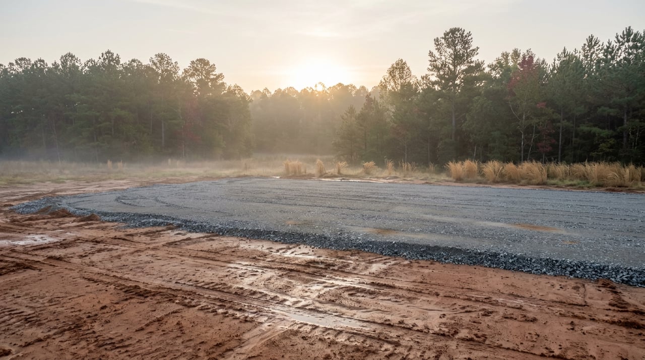
When we assist you with buying or selling, we evaluate the property and your goal as if they were our own. It’s really that simple – doing business the way it used to be done.
2905 Pine St PO Box 583 Arkadelphia, AR 71923